The water
Mount Hope Bay
An estuary of about thirteen square miles, ringed by seven towns across two states, with all three of these associations on its eastern shore.
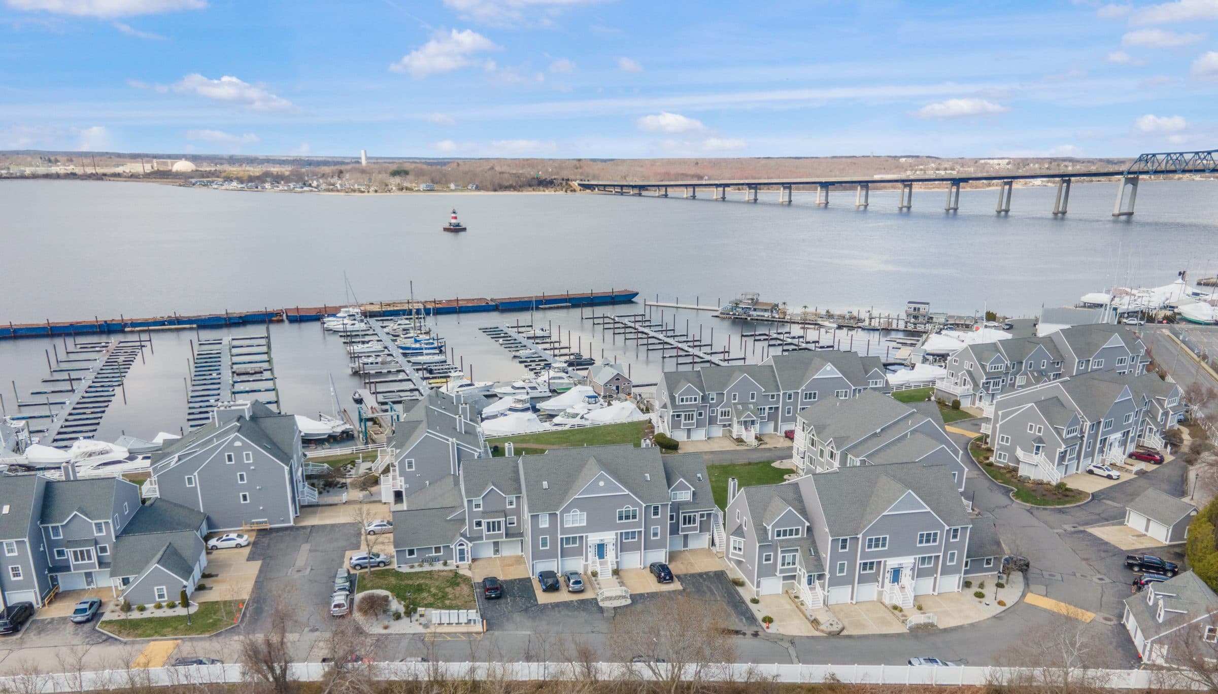
Mount Hope Bay is a tidal estuary of about thirteen square miles at the mouth of the Taunton River — the arm of Narragansett Bay that separates southeastern Massachusetts from the East Bay of Rhode Island. Warren, Swansea and Somerset sit at its head; Fall River and Tiverton run down its eastern shore; Bristol faces from the west and Portsmouth closes it at the south.
Three bridges cross it. The Braga carries Route 195 across the north end; the Mount Hope crosses to Bristol in the south-west; the Sakonnet leaves to the south-east. That geography is why this stretch of water reads as open and quiet while still being minutes from a highway.
The condominium communities with a view of it sit on the eastern shore, spread across two states and two very different tax and conveyancing regimes. They were built decades apart, to different rules, for different buyers — which is the reason this directory exists rather than a single page.
The bay itself
- Size
- About 13 square miles
- Depth
- 18.7 feet on average
- Fed by
- The Taunton, Quequechan, Lee's, Cole and Kickemuit rivers
- Bridges
- Braga, Mount Hope and Sakonnet
- Towns on the bay
- Warren, Swansea, Somerset, Fall River, Tiverton, Portsmouth and Bristol
- Opens into
- Narragansett Bay, through the East Passage
Who is on the water
Spread along the eastern shore, across two states.
An independent directory published by revolv Real Estate. It is not operated by, endorsed by or affiliated with any of the associations listed, their trustees or their managing agents. Each association's own published material governs in any conflict.